A powerful winter storm rolled through the Tri-State area this weekend. It dropped the biggest snowfall the region’s seen in almost four years, leaving behind a messy mix of snow, sleet, and ice.
New York City logged its highest snow totals since 2022. Meanwhile, Connecticut and Long Island landed in the “sweet spot” for accumulation, but much of New Jersey got stuck with a wintry blend that’s now a real headache for travel and safety.
Easy booking across hundreds of accommodations from luxury high-rises to unearthed brownstone treasures.
Browse Accommodations Now
Storm Overview: A Long-Awaited Winter Wallop
Meteorologists warned this would be more than a dusting—and they were right. The system, an Alberta Clipper supercharged by Pacific energy, ramped up fast as it hit a deep pocket of cold air.
That quick punch squeezed out heavy snow bands from Friday night into Saturday morning. By the time the last flakes faded, the storm clearly favored areas north and east of New York City.
There was a sharp line between the heavy snow zones and spots that got more sleet than powder.
Snow Totals Across the Region
Central Park picked up **4.3 inches of snow**—the most since January 2022. Both LaGuardia and JFK airports reported about **4.1 inches**—enough to whiten runways and snarl early-morning travel.
It was a wake-up call for residents after several quieter seasons. Connecticut, though, really took the crown this time.
New Fairfield led the state with **9.1 inches**. Fairfield got **7 inches**, Bridgeport **7.1 inches**, and Newtown **6 inches**—putting much of southwestern Connecticut right in the storm’s bullseye.
Find available hotels and vacation homes instantly. No fees, best rates guaranteed!
Check Availability Now
Long Island and the Hudson Valley in the “Sweet Spot”
Parts of Long Island saw more than half a foot. Babylon and Orient both recorded **7.5 inches**, Mattituck hit **7 inches**, and several Suffolk County towns measured between **6.5 and 6.8 inches**.
Residents woke up to a classic coastal snow scene—buried driveways, frosted trees, and plow piles everywhere. Up the Hudson, places like Lake Carmel, Armonk, Peekskill, and Port Chester tallied around **6 to 6.5 inches**.
The Hudson Valley ended up as another prime target for this storm. For many towns, it meant a lot of digging but not quite blizzard territory.
New Jersey’s Icy Trade-Off
Across the Hudson, New Jersey landed on the wrong side of the mix line. Instead of fluffy snow, many towns got sleet mixed in, which cut into totals but made the roads even nastier.
Harrison collected about **4 inches**, Springfield around **3 inches**, and Newark just **2.5 inches**. The snow and ice combo has left behind slick, frozen layers that can challenge even seasoned winter drivers.
Travel Hazards and Weather Advisories
With temperatures stuck below freezing through early Sunday, the main threat has shifted to what’s left behind. Slick roads, black ice, and frozen sidewalks are the biggest worries now—especially north and west of New York City where a Winter Weather Advisory still lingers.
The worst hit Friday evening into early Saturday. Even after the storm moved out, patches of untreated pavement and refreezing slush kept travel risky.
Officials urge folks to take it slow, leave extra time, and keep an eye out for icy spots that can sneak up on you.
What’s Next: Cold, Ice, and a Brief Thaw
Sunday’s shaping up to be a harsh reminder that winter isn’t letting go yet. Temperatures will stay frigid, and forecasters are keeping an eye on the chance for **freezing rain Sunday night**—which could add another slick layer on top of the ice already out there.
A quick warmup is expected Monday, giving a short window for melting and cleanup. But another cold snap is on the way, so refreezing will likely keep things tricky well into the week.
What This Means for Jersey City Residents
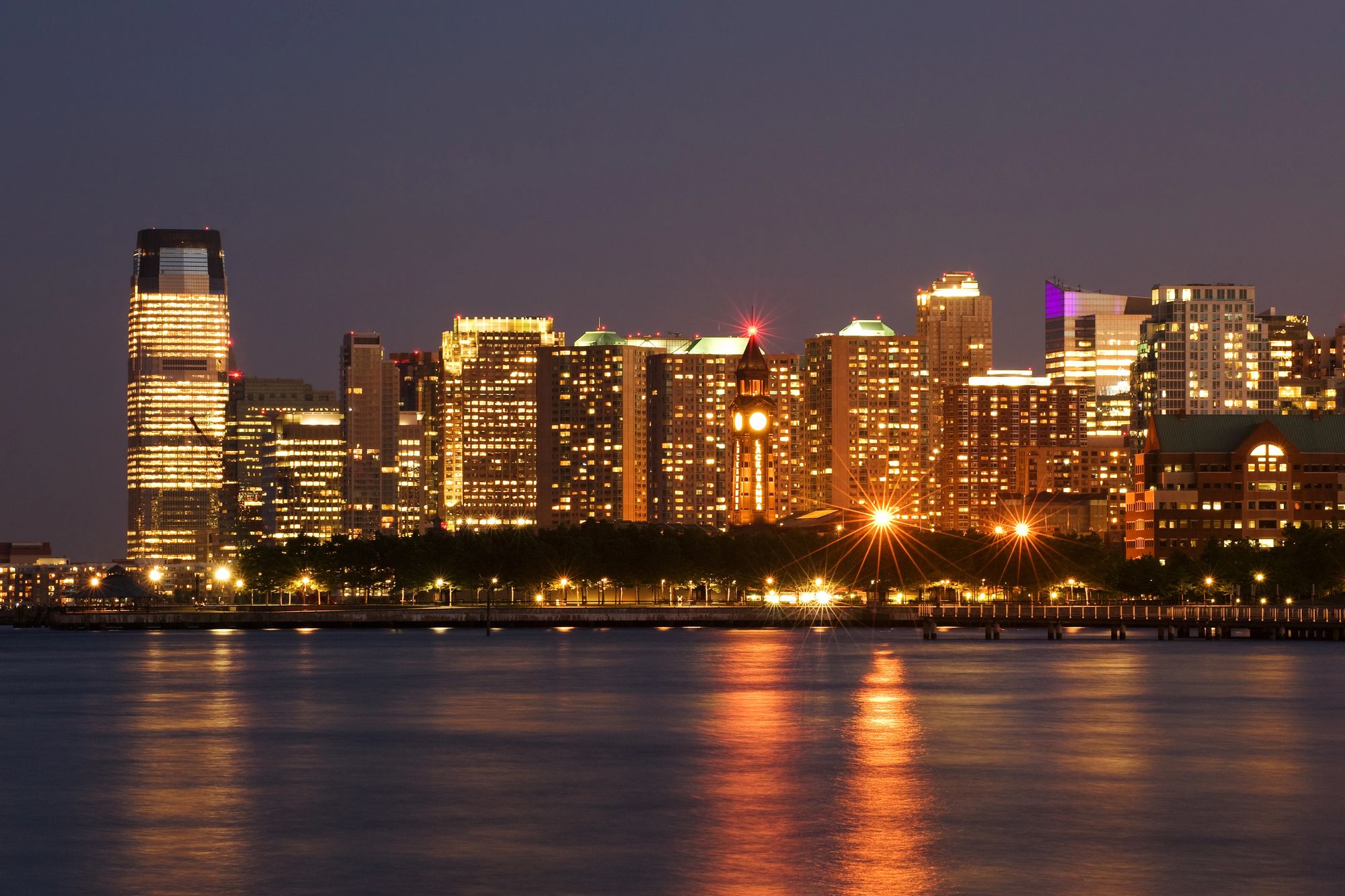
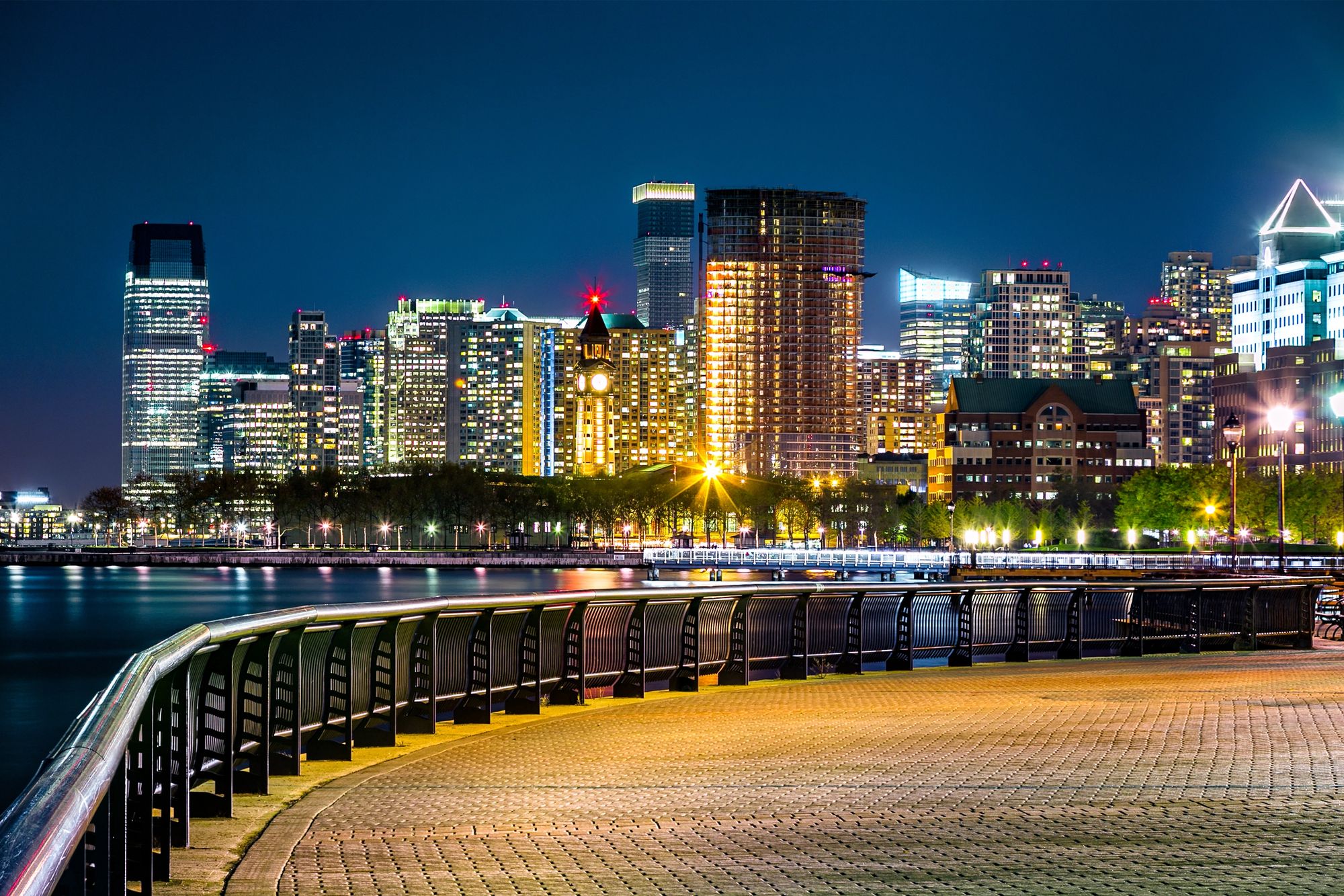
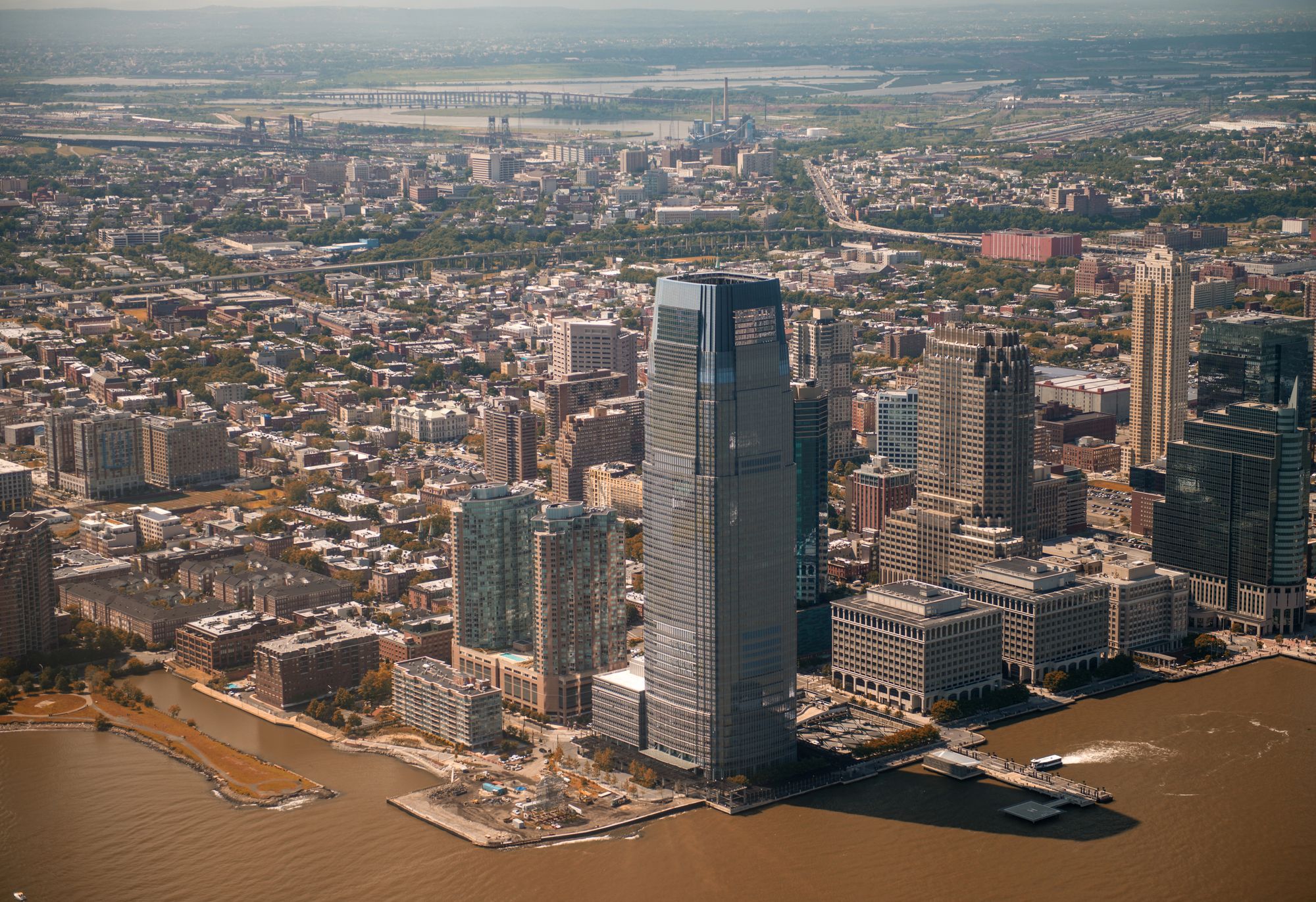
This storm gives Jersey City a nudge—don’t forget to prepare. Totals around the city stayed on the lower end, but that mix of sleet and ice? It’s a headache for commuters, especially folks coming into Jersey City from the suburbs.
Watch out on sidewalks, stairs, and crosswalks. Early mornings are the worst for refreezing, so take it slow.
Different neighborhoods—like the waterfront, Journal Square, or the Heights—feel these storms in their own way. Elevation, wind off the Hudson, and those random microclimates all play a part.
If you’re checking into Jersey City hotels this week, keep an eye on the forecast. Maybe give yourself a little extra time, whether you’re Manhattan-bound or just planning to wander around and try some winter-friendly things to do in Jersey City.
Thinking about where to stay in Jersey City this winter? Being close to transit and well-plowed streets can really help after a storm. These swings between thaw and deep freeze keep everyone on their toes.
Even a so-called “moderate” storm can mess with your day—from airport delays in Queens to slick sidewalks on both sides of the Hudson.
Find the perfect hotel or vacation rental. Instant booking, no fees!
View Top Stays
Here is the source article for this story: Winter Storm Warning issued for Tri-State ahead of snow storm

