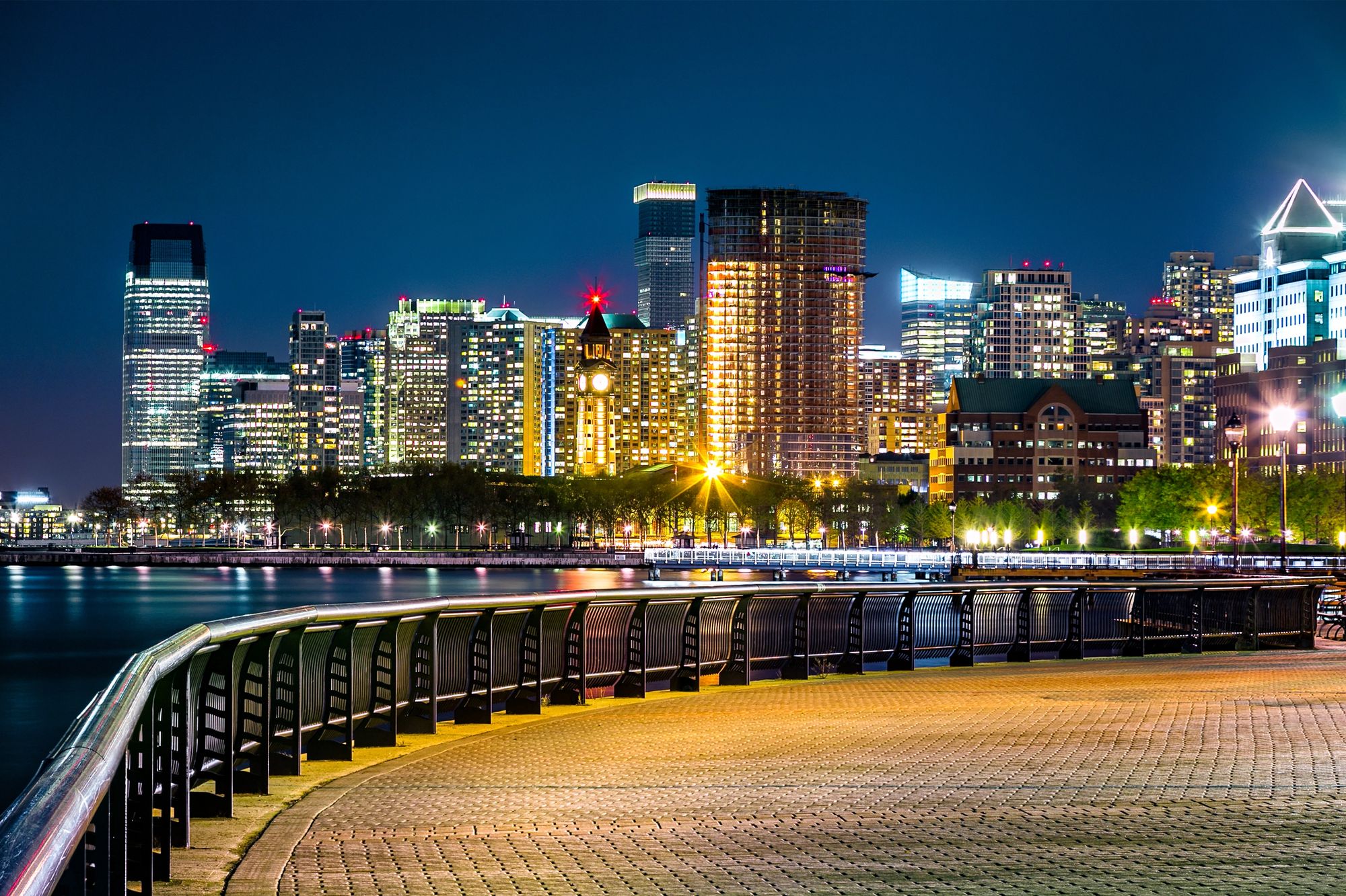
This weekend’s fast-moving winter storm is set to deliver the first real blanket of snow across New York City and Northeast New Jersey. Sunday morning travel could get especially tricky, with a particular impact expected then.
Totals aren’t historic, but the timing, early-season shock, and rapidly dropping temperatures mean residents, commuters, and visitors should get ready for slick roads and messy sidewalks. Jersey City might feel the brunt of the disruption.
Easy booking across hundreds of accommodations from luxury high-rises to unearthed brownstone treasures.
Browse Accommodations Now
First Significant Snowfall of the Season Arrives Overnight
Forecasters are tracking a compact but potent system sweeping into the region late Saturday night. Widespread snowfall is on tap for New York City, Northeast New Jersey, Long Island, and parts of Connecticut.
This will be the first storm this season to cover a broad area with several inches of accumulation. Winter’s back, whether you’re ready or not.
Timing: When the Snow Starts and Stops
For most of the metro region, including Jersey City, snow should start around 10 p.m. Saturday. It’ll fall steadily through the overnight hours, with the heaviest burst likely between midnight and dawn.
By early Sunday morning, things will begin to improve, but a few hours of slippery roads are almost guaranteed. In New York City and northern New Jersey, the snow should taper off by around 7 a.m.
On Long Island and across southeastern Connecticut, snow will linger a bit longer, likely exiting by 10 a.m. Eastern Connecticut may not see flakes until closer to 1 a.m. Sunday but will still have a slick morning.
How Much Snow to Expect
This storm isn’t a blockbuster, but it’ll be widespread and impactful. Forecast totals currently include:
Find available hotels and vacation homes instantly. No fees, best rates guaranteed!
Check Availability Now
Inland areas away from the coast can expect closer to 2 to 3 inches. The coastal corridor, including Jersey City and Hoboken, will probably see the higher end of the 3 to 5 inch range.
Changing Snow Conditions and Travel Hazards
One thing that stands out: the snow will change as the night goes on. That shift—from wetter to lighter—could fool some drivers and pedestrians into thinking things are safer than they really are.
From Wet Snow to Powdery Accumulation
Snow will likely start out somewhat wet as it first arrives. It might melt on contact with warmer surfaces at first.
But as temperatures slip into the 20s overnight, the snow will turn lighter and more powdery. That’s when it can pile up fast on untreated roads and sidewalks.
This transition is crucial. What starts as slushy streets late Saturday can quickly become slick and icy by early Sunday morning.
Winter Weather Advisories and Safety Tips
Winter Weather Advisories are up from 10 p.m. Saturday through 1 p.m. Sunday for Northeast New Jersey, New York City, Long Island, Southern Westchester County, and Coastal Connecticut. These advisories highlight not just the snow totals, but the potential for hazardous travel and increased accident risk—especially for those who haven’t quite switched into winter driving mode yet.
Residents and visitors should:
What This Storm Means for Jersey City
For Jersey City, this storm is both a weather event and a bit of a seasonal reset. Commuters heading into Manhattan or across Hudson County early Sunday will likely face snow-covered side streets and only partially treated main roads.
If you’re visiting family, catching a flight, or hoping to explore the waterfront, plan for a slower-than-usual start to the day. Bundle up and maybe leave a little earlier than you’d like—just to be safe.
Winter, Visitors, and Navigating the Jersey City Area
The holiday season’s here, and honestly, the timing of this storm could shake up tourism and local business. Travelers booked in Jersey City hotels might wake up to wintry views of the Hudson River and lower Manhattan.
They’ll probably want a few extra minutes to get to brunch or catch the PATH train. If you’re planning a visit and still wondering where to stay in Jersey City, this storm’s a nudge to pick spots near transit and streets that get cleared fast.
Once the plows finish and the skies brighten, the waterfront and downtown just look amazing under fresh snow. The surrounding city districts get that winter postcard vibe too.
Residents and guests can get back to checking out things to do in Jersey City. Liberty State Park’s a classic, but there are plenty of local restaurants and shops that stay lively even when it’s freezing.
If you’re driving or flying in, just keep an eye on conditions and transit alerts. Getting to Jersey City Sunday morning will probably take more time and, well, some patience.
By afternoon, this storm should be out of the way. You’ll see that early-winter scene—boots, gloves, snow brushes, all of it. Winter’s here, like it or not.
Find the perfect hotel or vacation rental. Instant booking, no fees!
View Top Stays
Here is the source article for this story: Snow expected tonight across New York and New Jersey: Forecast, totals, alerts

